
Cargando...
Finden
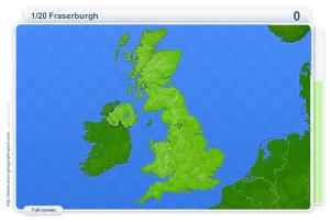
You have to click as close as possible to the city requested. Your scores are calculated based on the distance between your click and the true location. There is a time bonus each time.
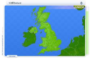
You have to click as close as possible to the city requested. Your scores are calculated based on the distance between your click and the true location. There is a time bonus each time.
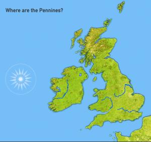
Guess where each given mountain and river of United Kingdom and Ireland is located on the map.
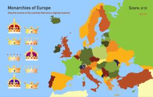
What european countries have monarchy as a model of government?
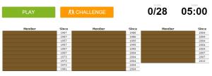
Can you name the members of the European Union?
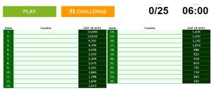
Can you name the world's biggest economies?
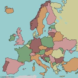
Try to figure out where each given European Uninon member is located on the map.
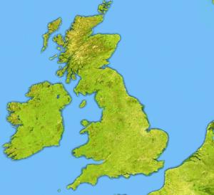
Try to locate on the map each given sea and island of the United Kingdom and Ireland.
Try to figure out where each given country is located.
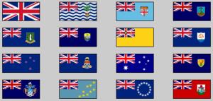
Try to guess the countries whose flags featuring the union flag.
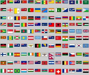
Click on the flag of each given country.
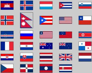
Try to guess the countries that have the colours red, white and blue on their flags.
Add to Didactalia Arrastra el botón a la barra de marcadores del navegador y comparte tus contenidos preferidos. Más info...


